Little River, DeSoto(AL), and Cloudland Canyon(GA)

OwenM

New Member
Messages
36
Points
0
Location
AL
Tuesday, 12/11:
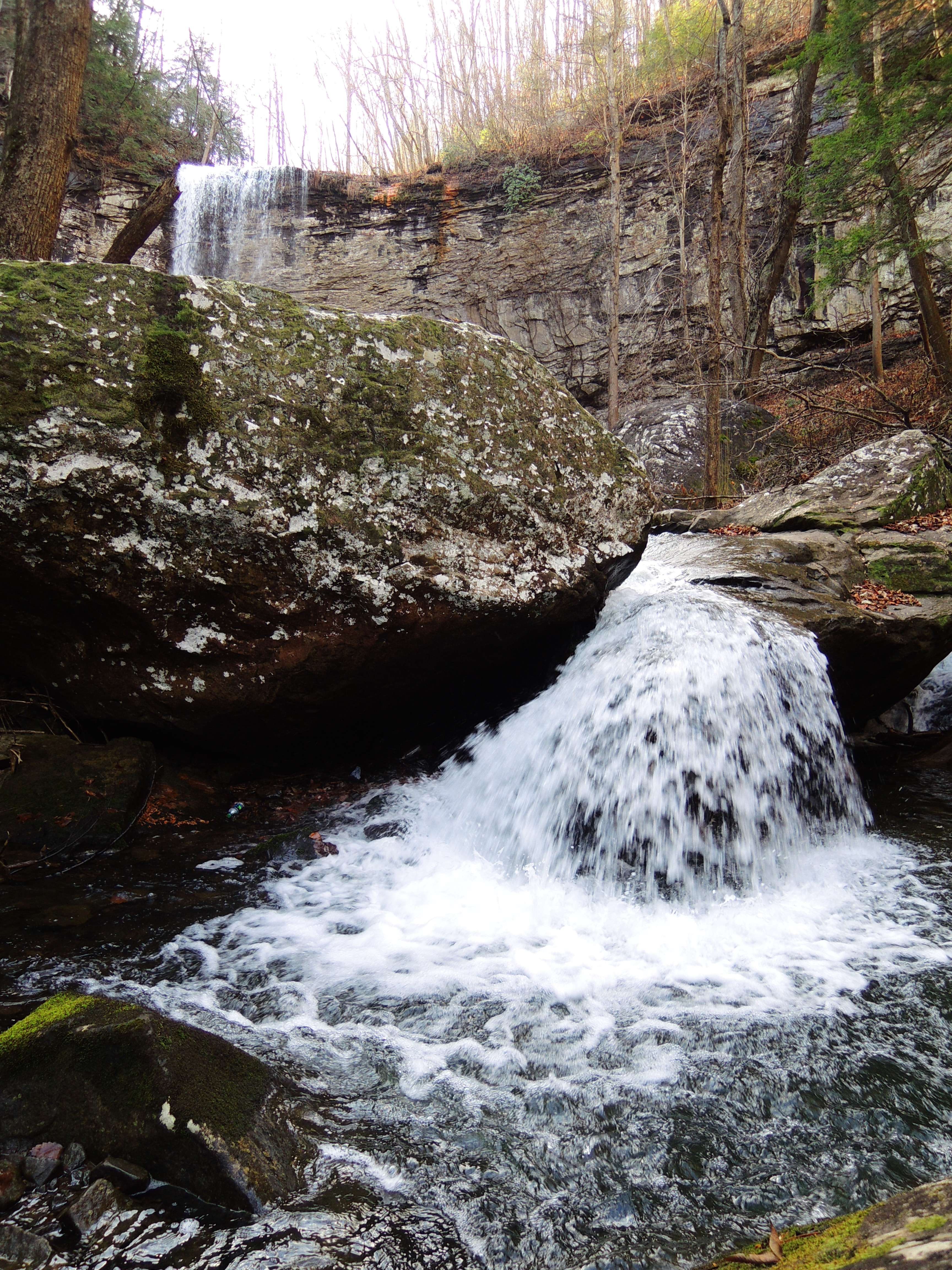
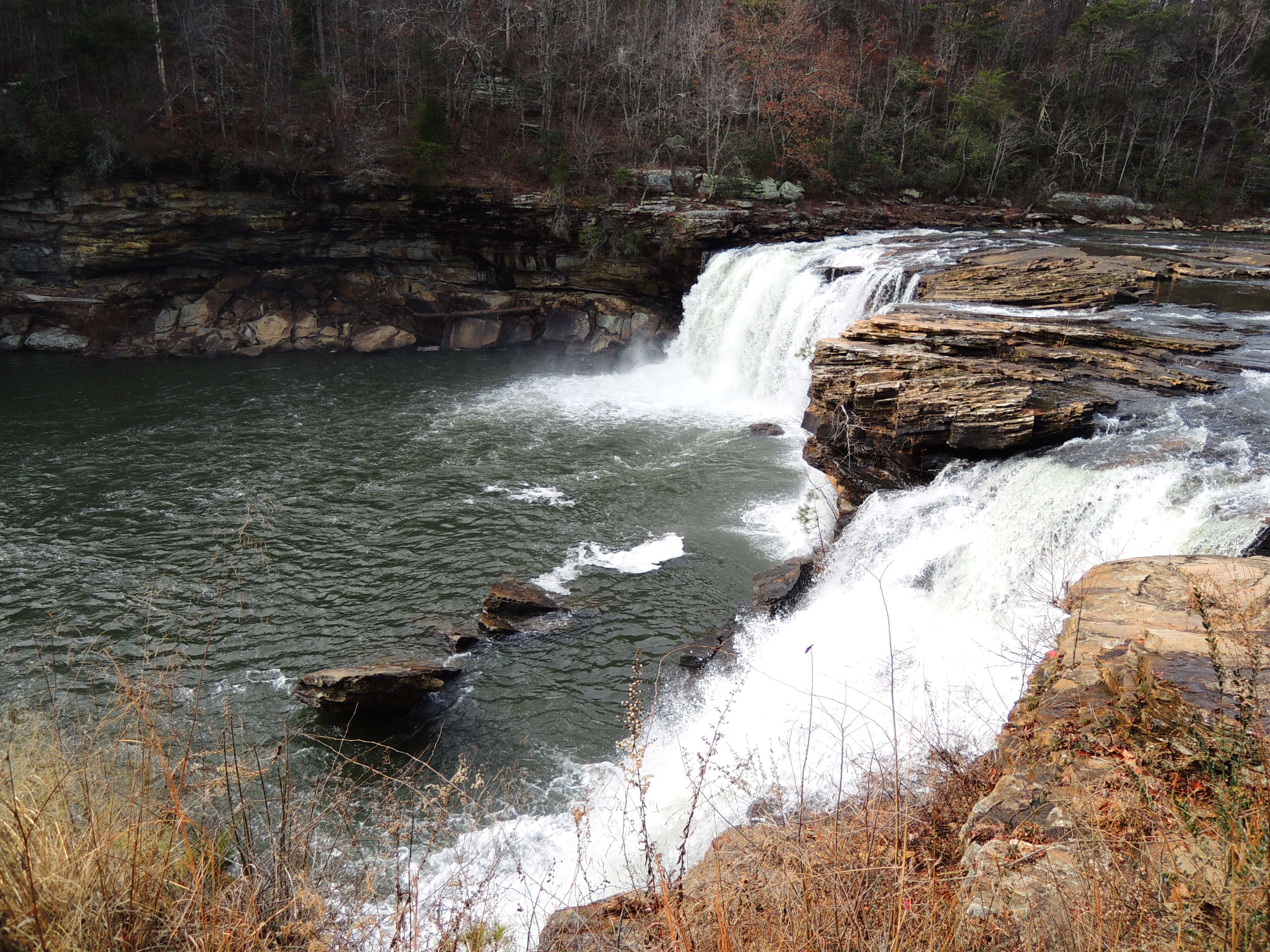
Visited Little River Falls:

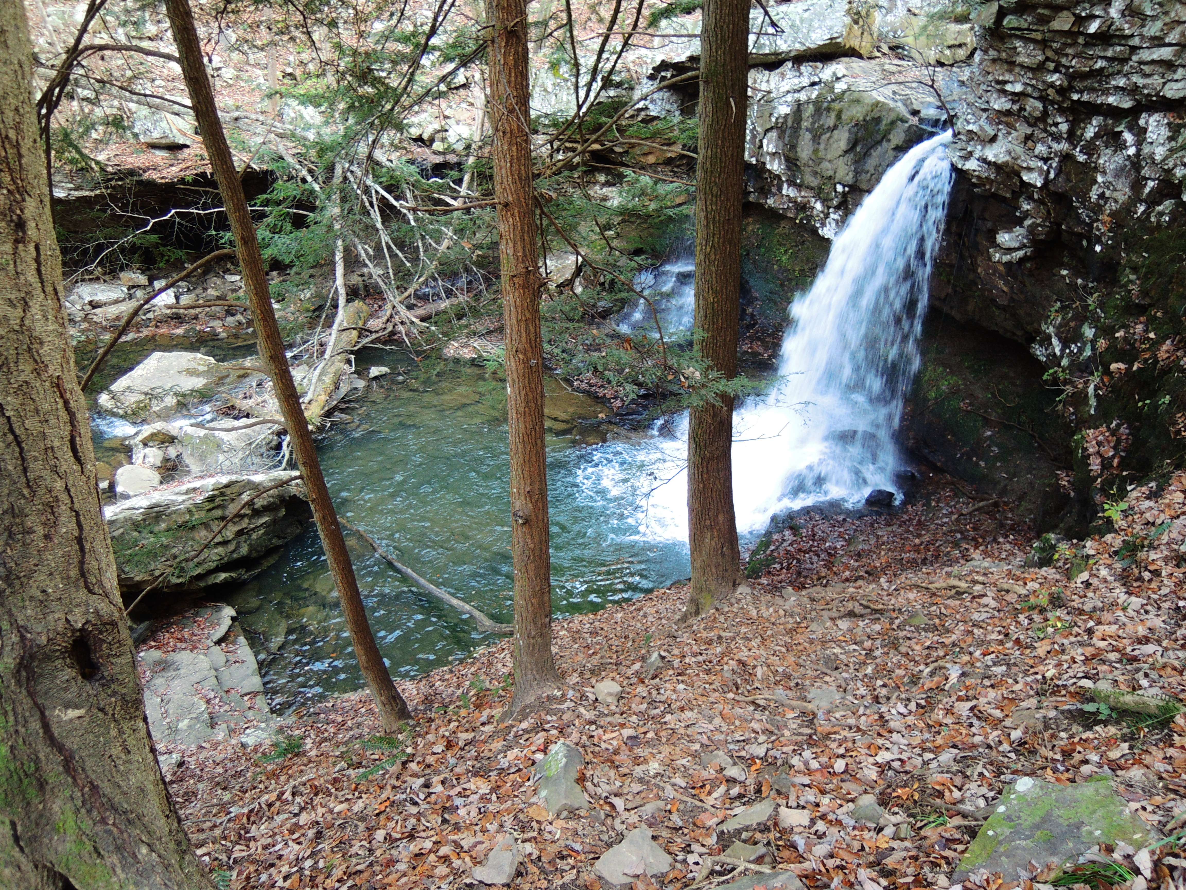
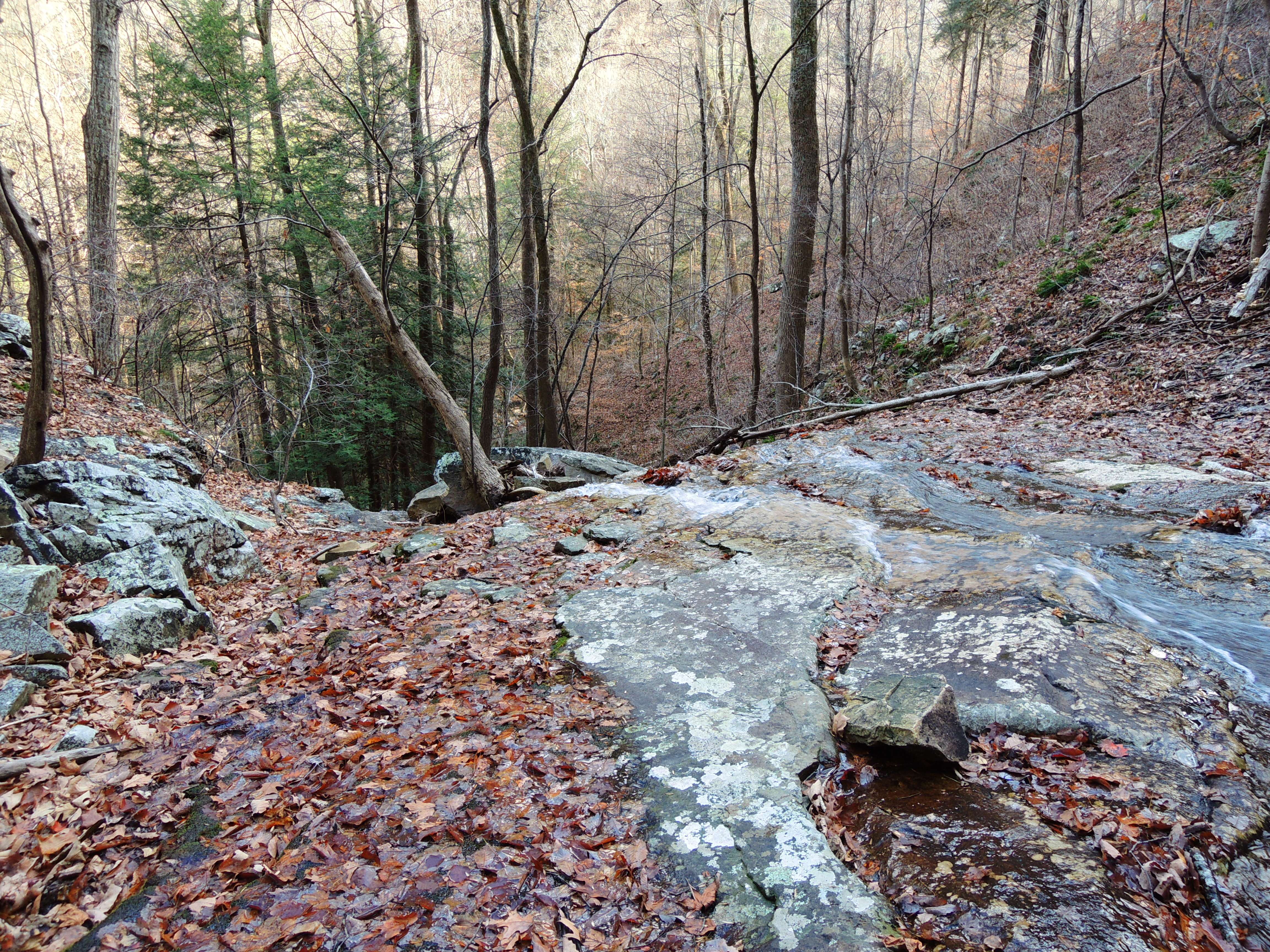
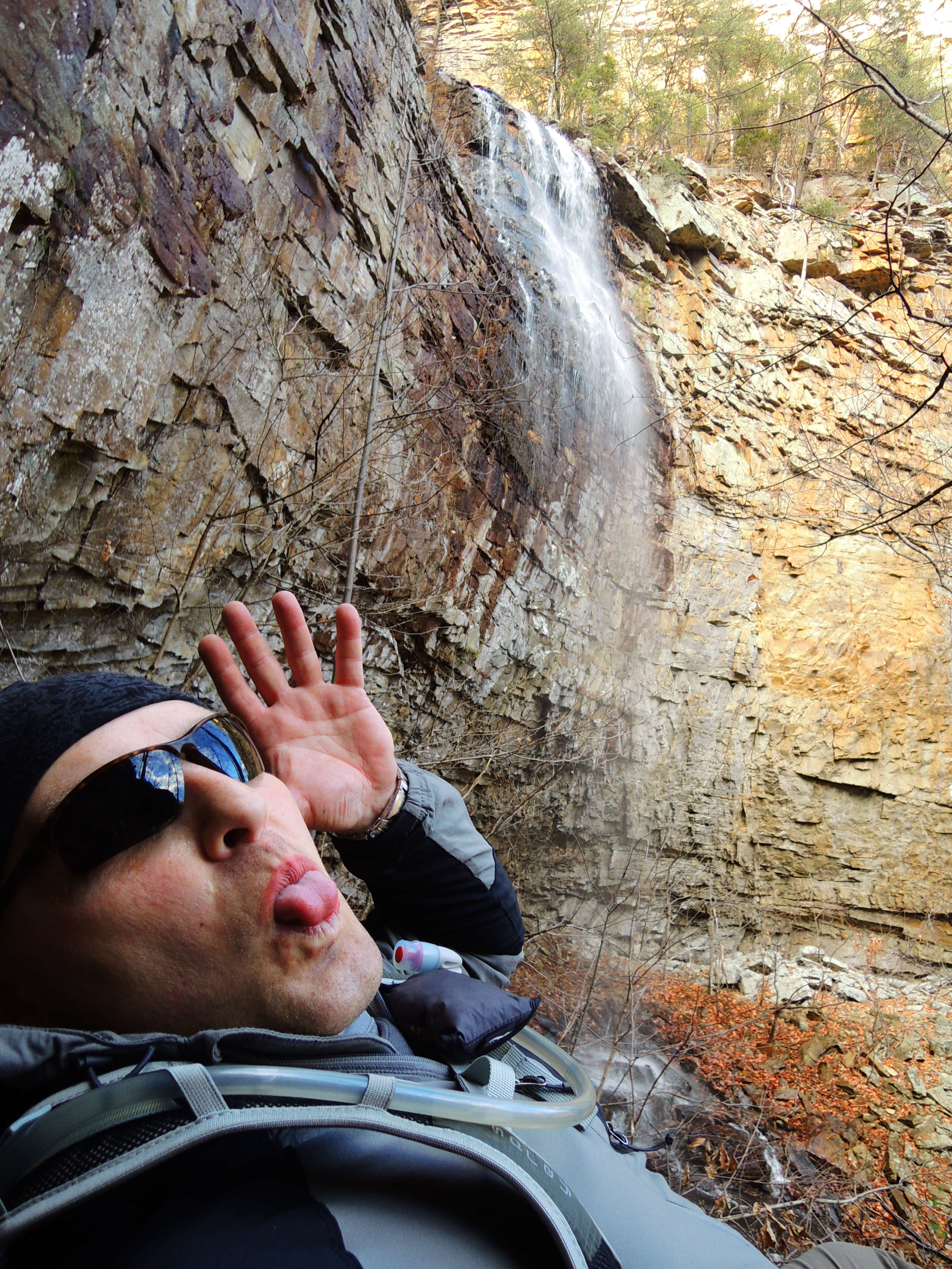
Took the Martha Falls trail, which follows, then descends into Little River Canyon:


Panorama:

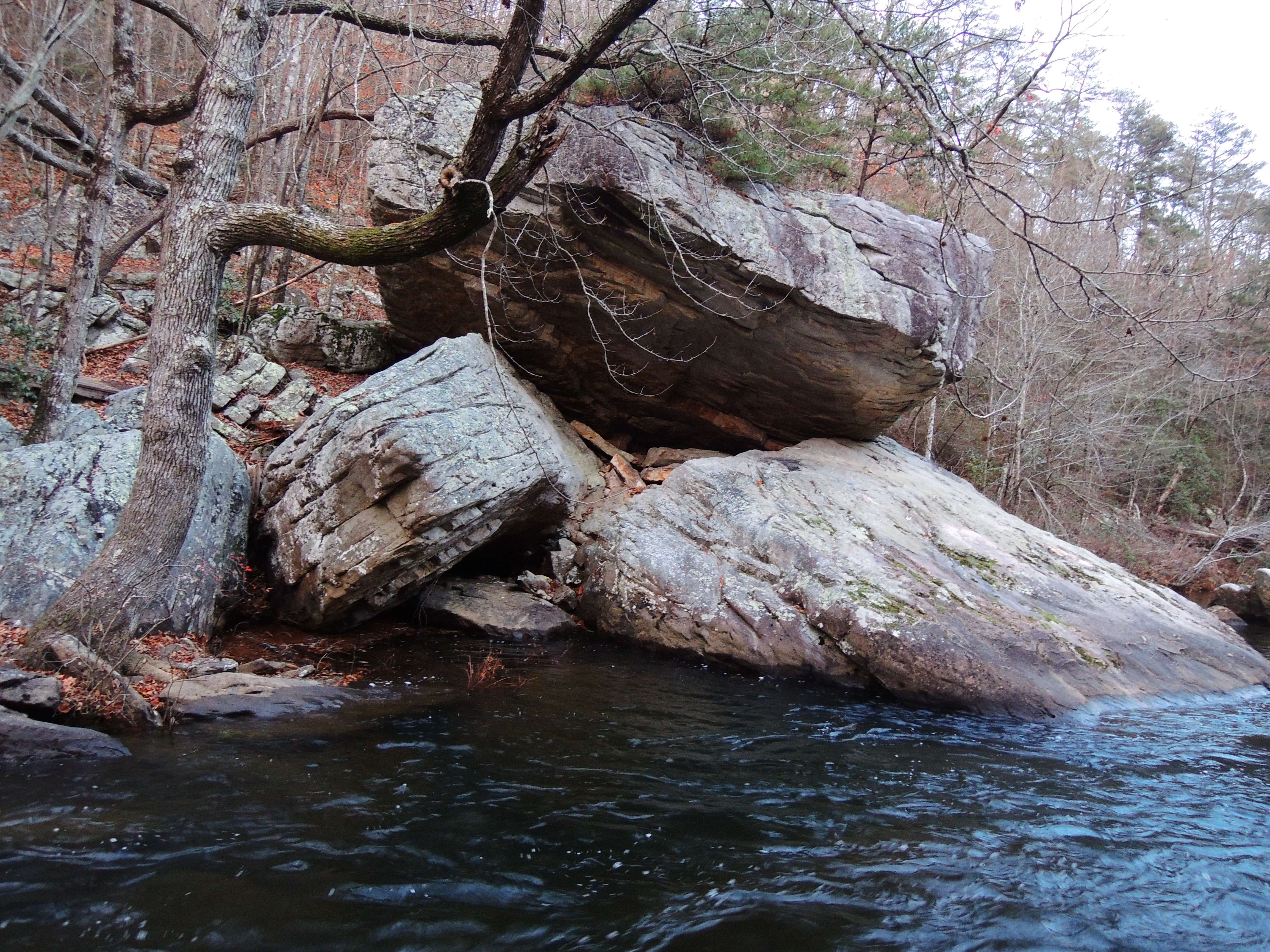
The shoreline is a mix, from walking across rocks and boulders to scrambling up short walls.


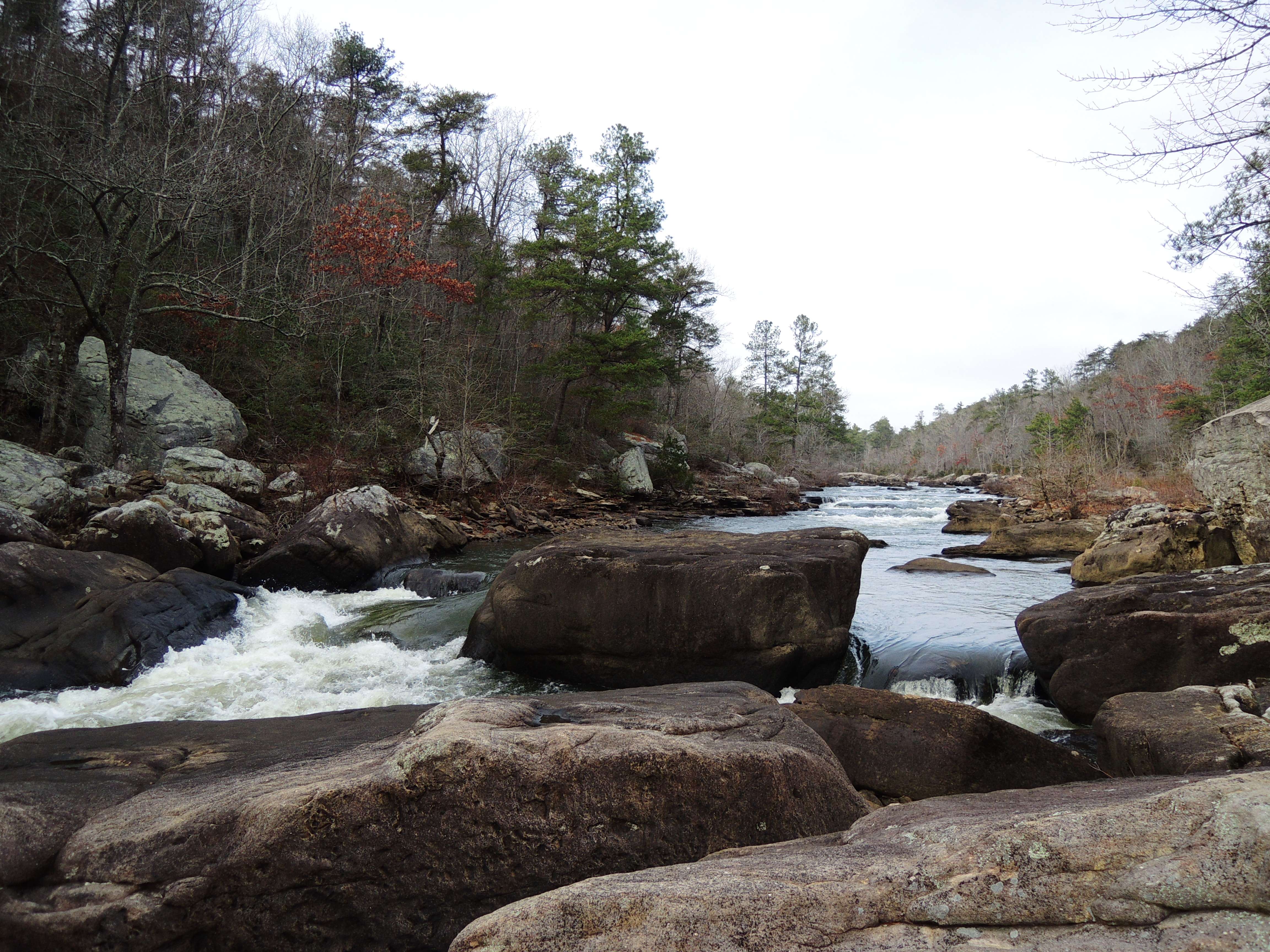
I got to see some kayakers, and we greeted each other, but the conversation was understandably short, as they were about to get busy.


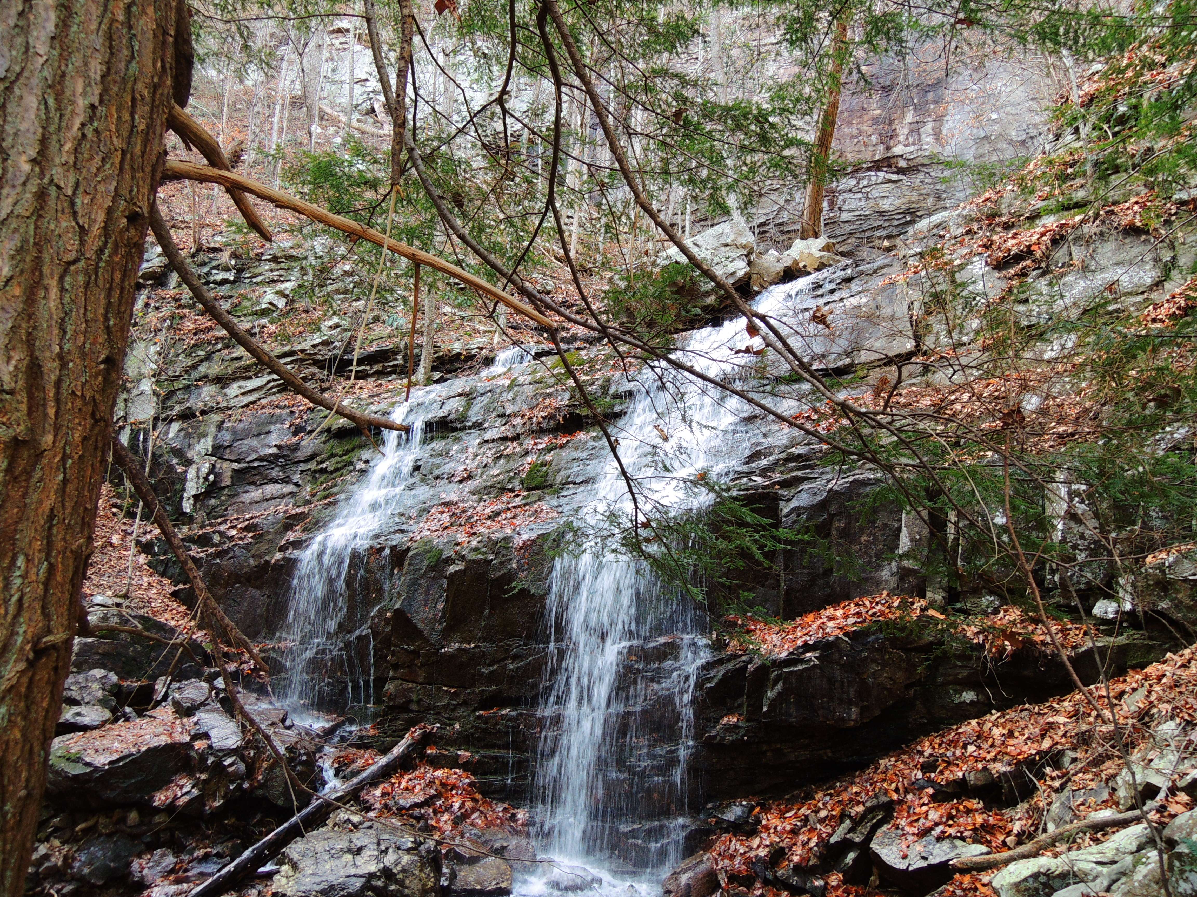
Exited up a weakness in the canyon wall:

Hartline Ford in the backcountry. The river was flowing much higher than the last time I was there, and the places I'd walked before were all underwater.
So was my tailpipe, halfway across, and I backed up within seconds, as I was afraid the water would come in my doors. There was a bit of a sick feeling when I put it in reverse and the truck wouldn't move. That's what 4WD is for, though...
 
Last edited:

OwenM

New Member
Messages
36
Points
0
Location
AL
I drove the back roads I'd hiked out on once before to DeSoto State Park, and continued up the Lookout Mountain Parkway to DeSoto Falls.

There is a lake above the falls that is contained by this spillway, and whatever overflow there is determines the flow of the falls.

Back to DeSoto State Park, and a short trip up a boardwalk trail to Azalea Cascades.

Then entered the DeSoto Scout Trail at Indian Falls, and followed the river.


I got fascinated with a leaf causing a rooster tail in the flow along the shore.

This is Weeping Wall Falls. I thought I must have missed it on a previous trip, but it was just dry at the time.


My new shoes are working out quite well!


As the sun sets, some of the colors really start coming alive.


I hiked out in the dark by flashlight, and returned to the campsite at Hartline Ford for the night.
Tarptent Notch, lighting courtesy of the Malkoff M61N exclusive to Oveready.com:
 

OwenM

New Member
Messages
36
Points
0
Location
AL
Wednesday, 12/12:

In the morning, I drove into NW Georgia to Cloudland Canyon State Park on Lookout Mountain near Trenton, GA.
I began the day with the "West Rim loop", which has some gradual ups and downs, but is a nice trail, throughout.

Cloudland is a nice place, but there are some discrepancies and lack of detail with their maps that isn't helped by trail signs like this that are based on someone doing the loop from a particular trailhead.
What's wrong with this picture?


Panorama with Trenton, GA mostly hidden by trees in the lower left:

Another panorama from a fenced overlook further along:


This tree caught my attention on a little outcropping overlooking the canyon.

I thought it had a good vantage point, so joined it a moment later.


This little section was bisected by deep cracks, and reminded me of an area of rock formations that formed a maze that I hiked at when I was a kid in the Boy Scouts. I think it was in Arkansas, and called the "Bear Caves", but may have it confused with another place. Maybe I will get video of it loaded up later...


A little later from the other side of the canyon. I walked along part of the overlook trail, then hiked the upper and lower Waterfall Trails, which also serve as access to Sitton Gulch Trail.

Into the canyon.
 

OwenM

New Member
Messages
36
Points
0
Location
AL
You'd think they'd have cool names for some of these places, and landmarks, but they don't. Until a naming contest that took place earlier this year(and probably had two entries), the two waterfalls that all the time, effort, and expense of the "Waterfall Trail" was dedicated to were called..wait for it...Waterfall #1 and Waterfall #2.
Just my luck, the lighting was horrendous. The sun came out from the clouds, and beamed straight across the top of the canyon, so while I could get beautiful pics of the clouds above, or in the darker canyon below, there was no combining the two.
Cherokee Falls


There are a lot of stairs involved in getting down into the canyon. I can only imagine the work that went into them, especially along the steep walls.

Hemlock Falls.


Most people come to view those two falls, and then go back up the stairs, but as I said before, they also provide access to the Sitton Gulch Trail(this is Sitton's Gulch, and was originally the name of the park).
This was a gorgeous little fall, and they built a bridge right over the top of it. Had to be done to get across the canyon, but I really dislike having man-made objects in my outdoor pics, and tried to keep it out of them.
I do have to admit that it was pretty cool looking straight down on it, though.


This was just below that fall.


OwenM

New Member
Messages
36
Points
0
Location
AL
There should be a book with a page dedicated to each of the little falls and cascades through this canyon that my pics show a smattering of, because it's wonderful, but here is where things got more interesting to me.
There is a waterfall visible from across the canyon, that doesn't even have a name, but flows all the way down the side. From where it crosses the trail, it's hard to even see the top through the trees.
This next group of pics will be of that fall, and where I make my way up on its right, then pass behind it. In some places it was extremely steep, mostly requiring the use of both hands, and on the way back I was sliding on my butt, grabbing trees and rocks on the way down. This was the high point of the day for me, and loads of fun.
First one is as seen from across the canyon at the top.

Here's a short video from part way up. I needed both hands, so was not able to video the whole thing.
[youtube]qcy9cyjAcNY[/youtube]


From behind the falls. It's a loooong way down!


You're not really supposed to be rambling around off-trail here, and they have signs posted to that effect, but one of the rangers said it was ok to do so for taking pics, so...
 

OwenM

New Member
Messages
36
Points
0
Location
AL
Continuing down the canyon.


As the sun began to go down, and the trail began to climb up the other side of the canyon, and get away from the water, I decided to head back. Back was uphill to the bridge and the steps there that take you to the bottom of the steps out of the canyon, and I was laughing about doing all this climbing to get to the bottom:rolleyes:


After this I returned to the campsite where I would be the only person camping, and decided that I would go on home to have today free. I'd hoped to go ride a mountain bike trail, but for some strange reason my calves are swollen, and kind of sore. I don't know what happened to them:confused:

Oh, from the campground, another sign to ponder...


All in all, two extremely satisfying days.
 
Last edited:
Top